Four days in Yosemite, without a car
Trip: Yosemite National Park, California · September 2–7, 2026 · with my friend Chris · four days in the park, all by bus
Yosemite was the last big one on my American list. Labor Day weekend was the last long weekend that made sense, so my friend Chris and I booked it over about a week in late August, and went. Neither of us drives, so the whole trip ran on buses, which turned out to work really well.
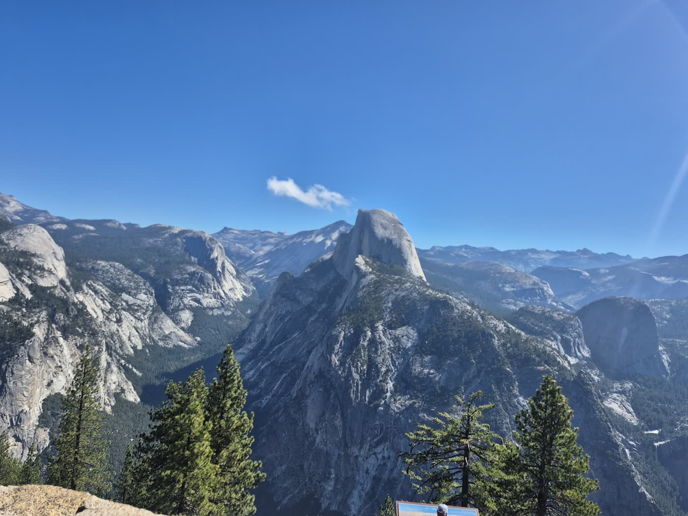
Half Dome from Glacier Point.
Getting there (Wed Sep 2)
We flew into Fresno late on Wednesday night and stayed at a hotel by the airport.
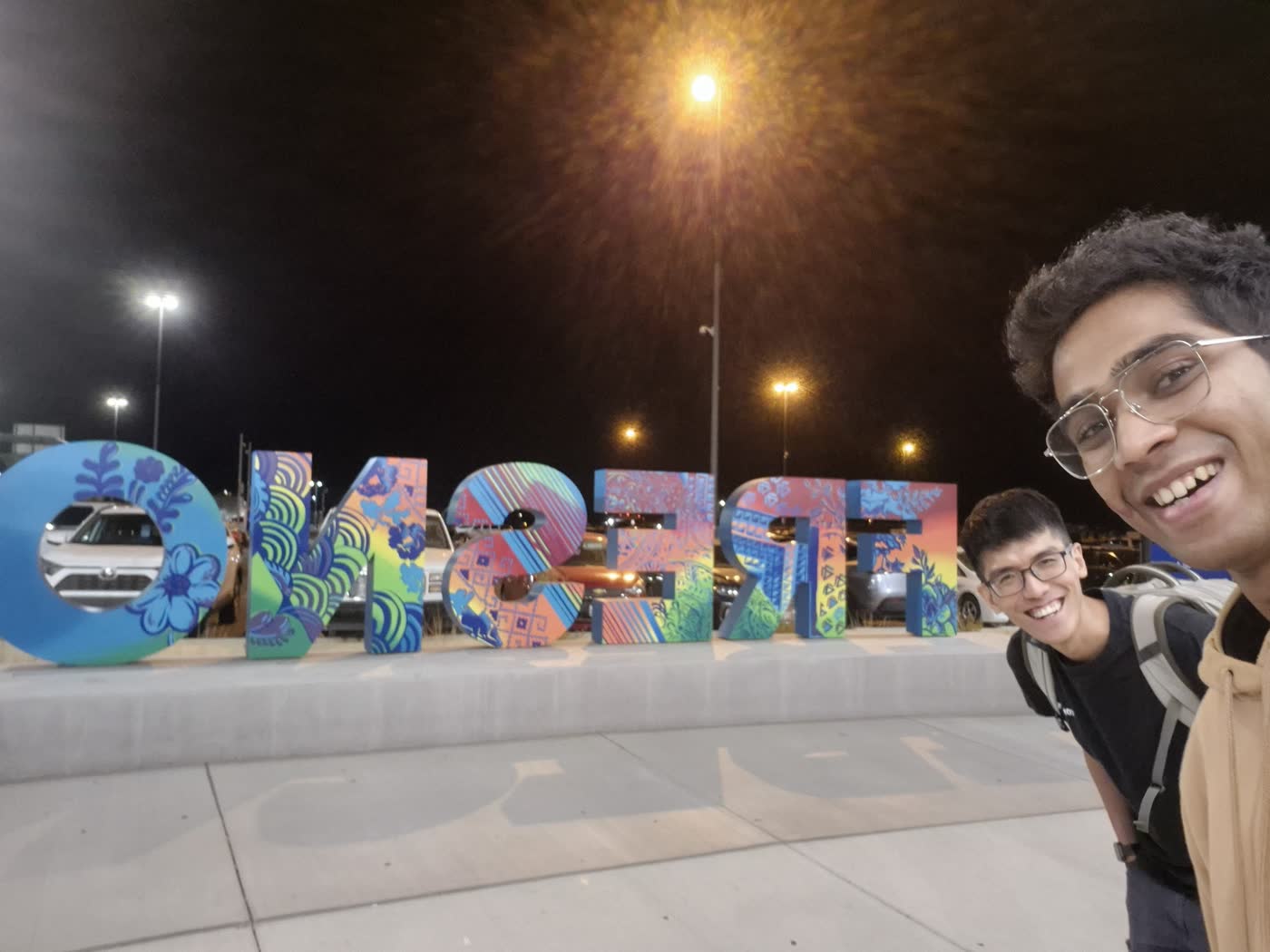
Landing in Fresno, late at night.
The plan was the YARTS bus, a seasonal public bus that runs from Fresno airport straight up into Yosemite Valley. So the next morning we were back at the airport at 7 AM, a little cold, waiting for it.
Waiting for the bus at Fresno airport, Thursday morning.
Day one: into the valley (Thu Sep 3)
The ride up takes about four hours, and we were in the valley before 11. You come through a tunnel and El Capitan is suddenly just there, a sheer grey wall, and “looming” is the only word for it.
We dropped our bags at Curry Village, where we stayed in a canvas tent cabin, and had pizza because we were starving. Then we walked out to Mirror Lake, about 1.7 miles in. At the end of summer there’s no water in it (it fills with snowmelt in spring), but it’s a nice walk through the woods, and the squirrels along the way were very bold. One made a serious attempt on our pizza.
At 2 PM we did a tour of the Ahwahnee, the grand old hotel in the valley. The detail that stuck with me: the building looks like it’s made of huge timber beams, but almost all of it is concrete, poured and then stained and textured to look like wood. The colours inside come straight from the valley: the blues from the sky, the browns and reds from the trees and rock.
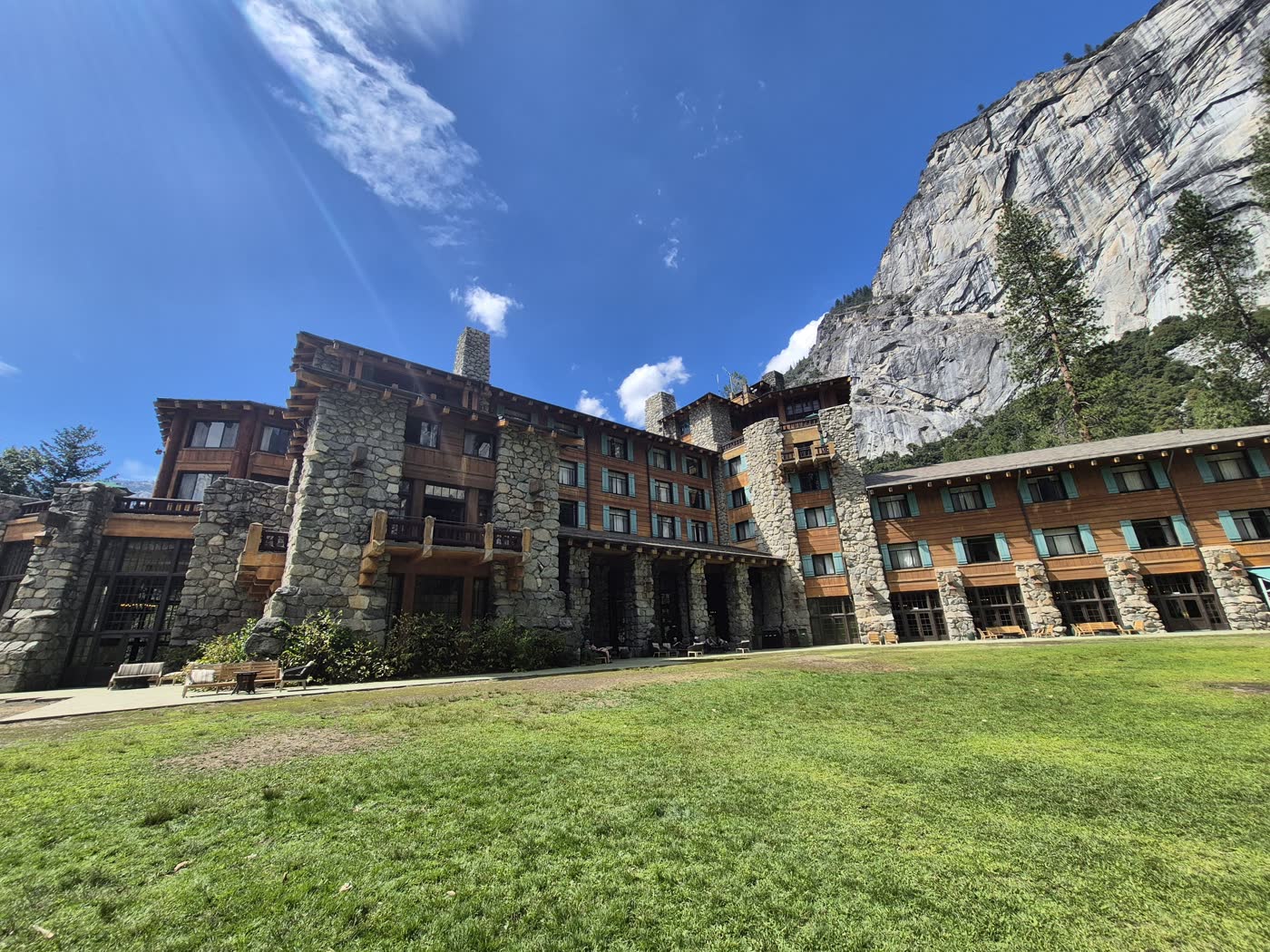
The Ahwahnee.
We checked in properly at Curry Village in the evening.
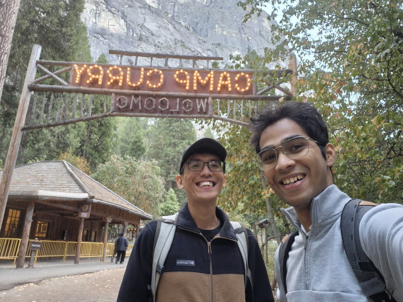
Home for the week.
Then we walked out to El Capitan Meadow for the evening light, which is where the trip really started for me.
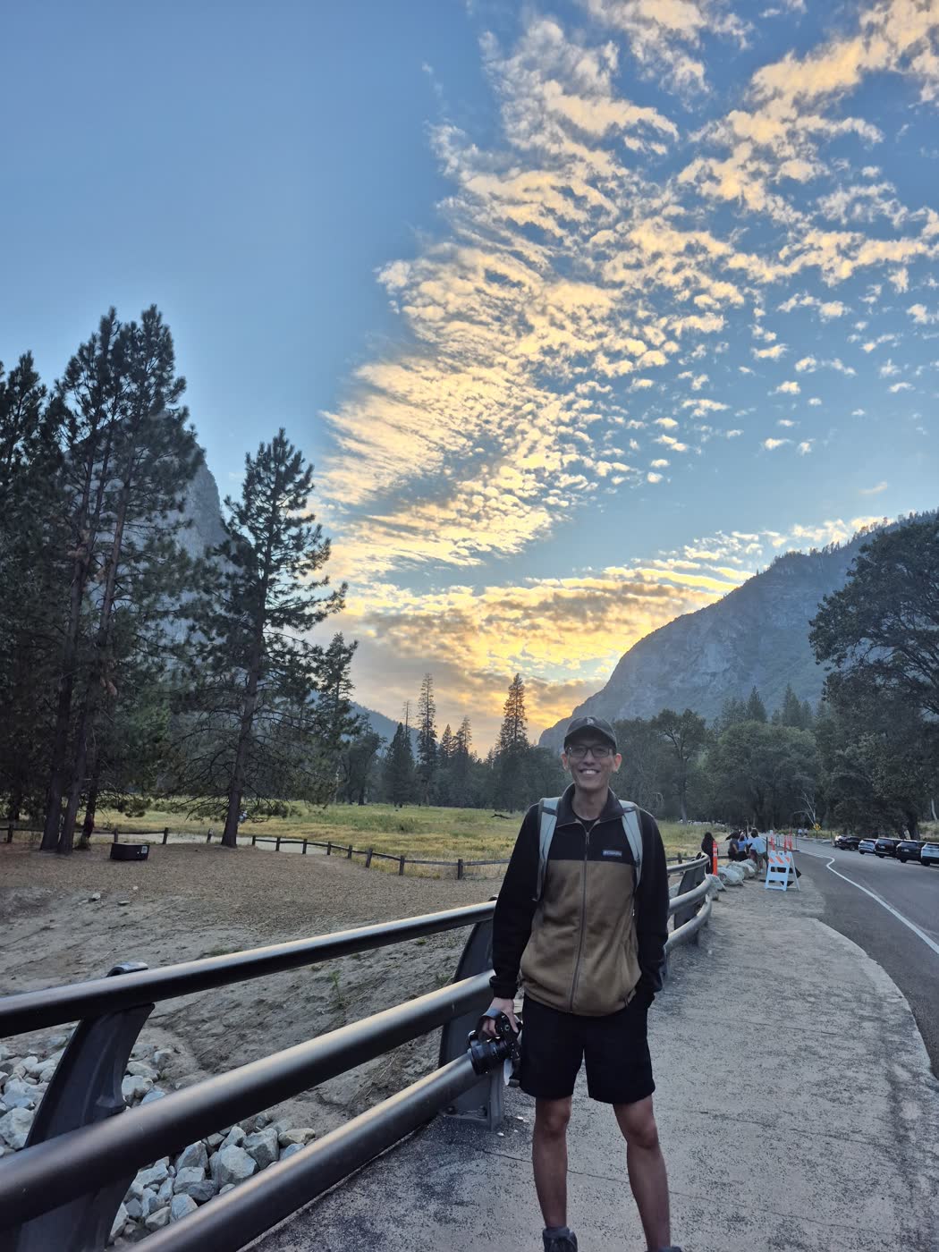
On the way out to the meadow.
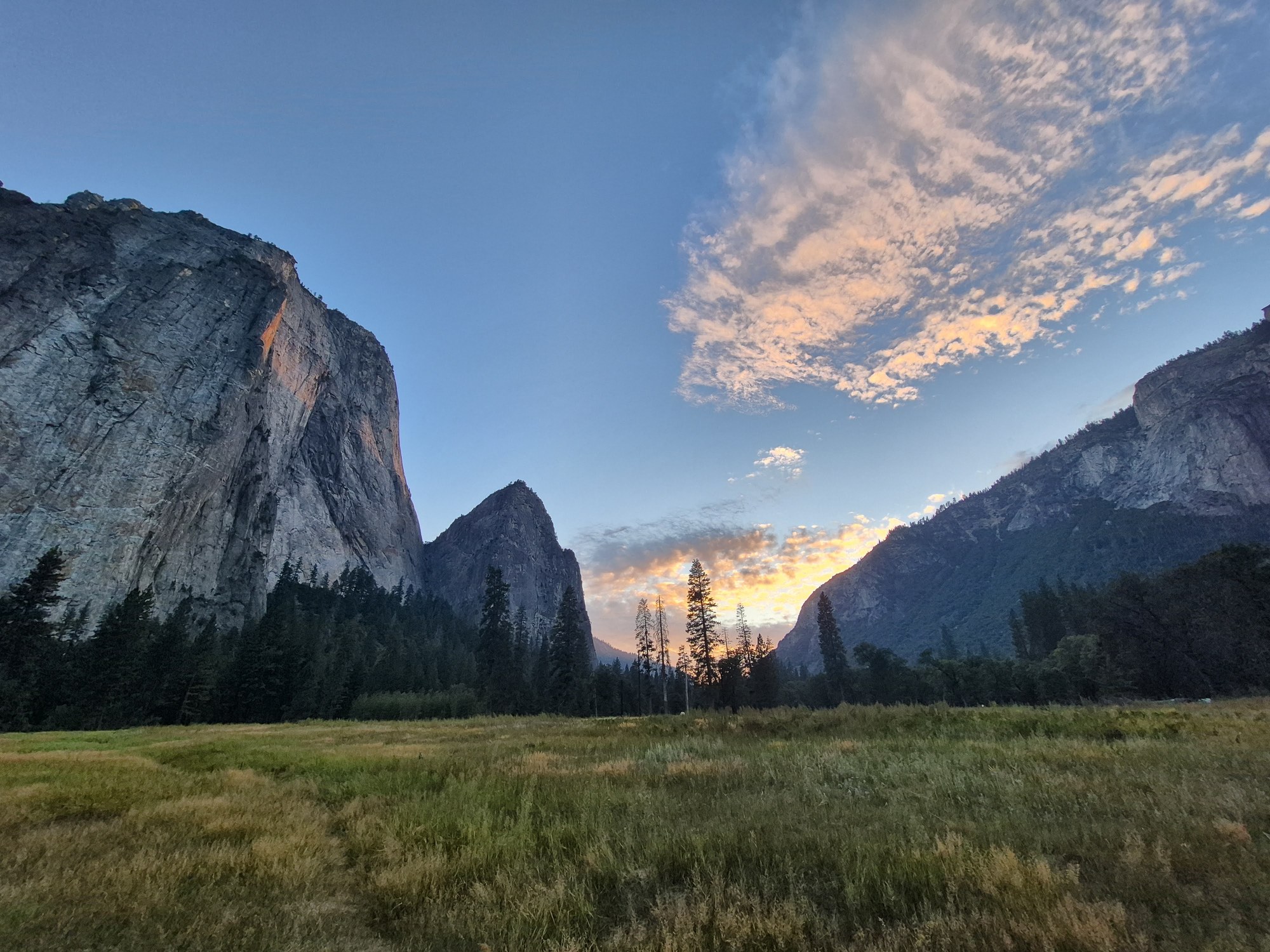
El Capitan Meadow at sunset.
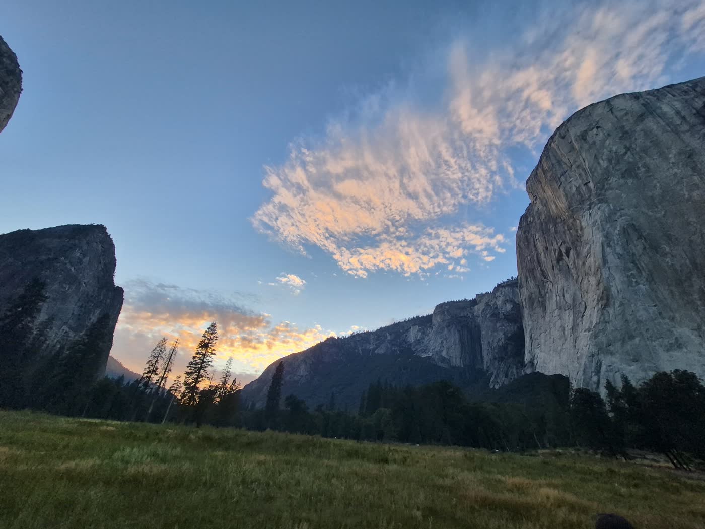
The same meadow a few minutes later, as the light went.
There’s no phone signal in the valley at all, no data, nothing. I’d expected that to be annoying, and it ended up being one of the best parts of the week: four days of not being reachable.
Day two: the Mist Trail (Fri Sep 4)
Getting around the valley floor is all on the free shuttle loop.
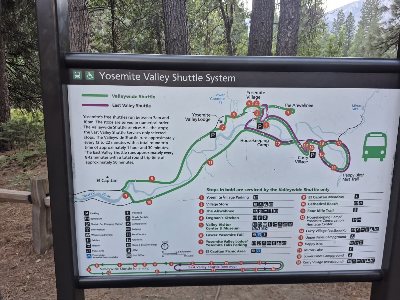
The valley shuttle map.
We’d booked the all-day Grand Tour for this morning, but the valley shuttle ran very late and we missed it. The staff at the Valley Lodge, a guy called Philip, moved us to the next day without any fuss, and we bought tickets for the Tioga Road bus while we were there. So we had a free day, and spent it on the Mist Trail, the classic Yosemite hike.
It’s a climb, up a long stone staircase beside the river. It felt a bit like climbing the Great Wall.
Climbing the Mist Trail, with Chris behind me.
The trail goes right up past Vernal Fall, close enough that the spray throws rainbows.
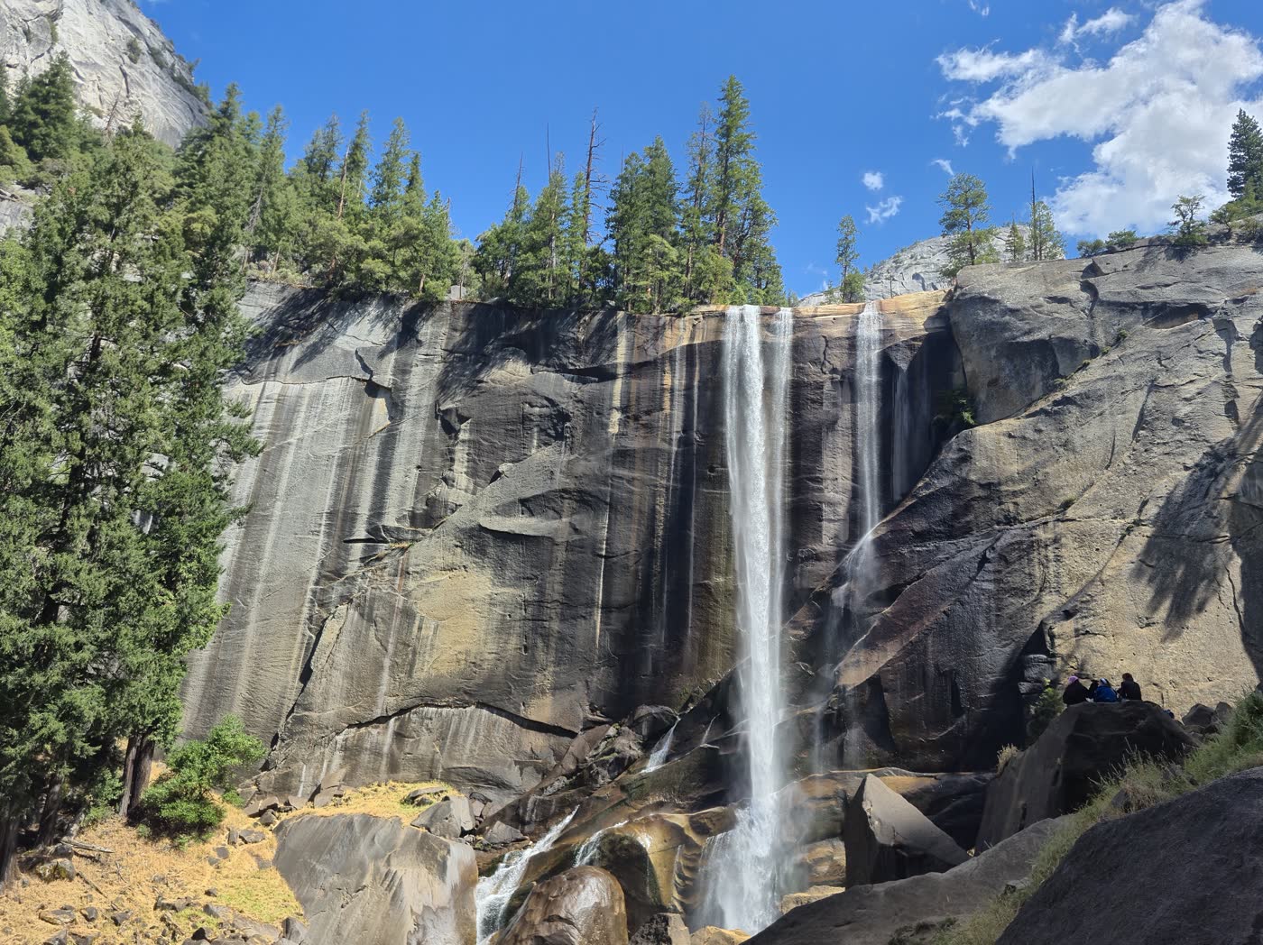
Vernal Fall.
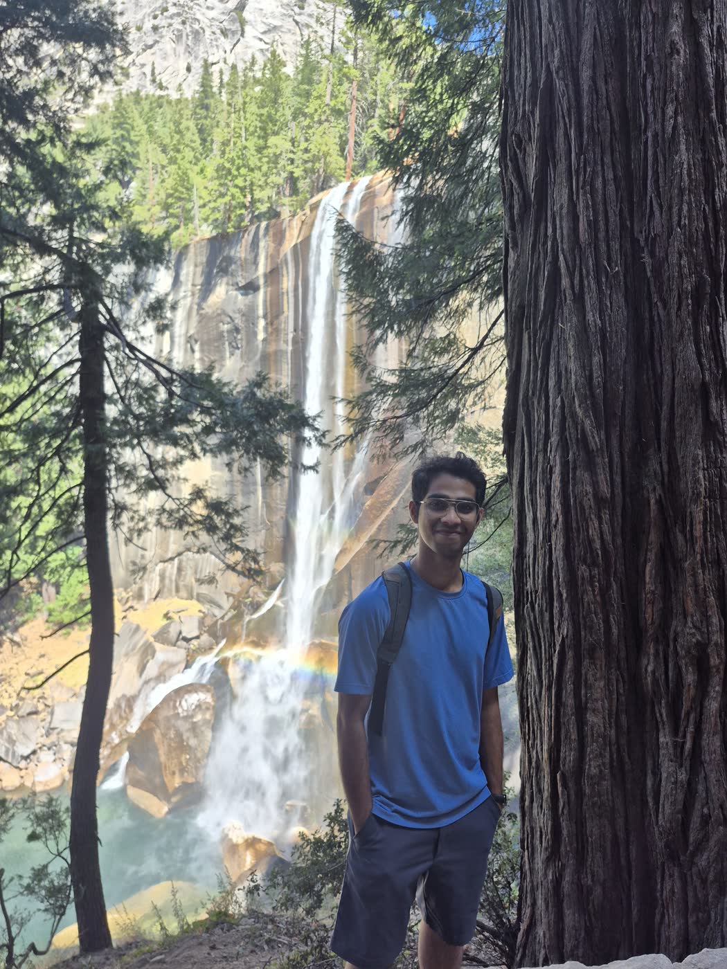
A rainbow in the spray.
At the top you can look back down at the whole route you just climbed, and the people still coming up it.
At the top of Vernal Fall, looking back at the climb.
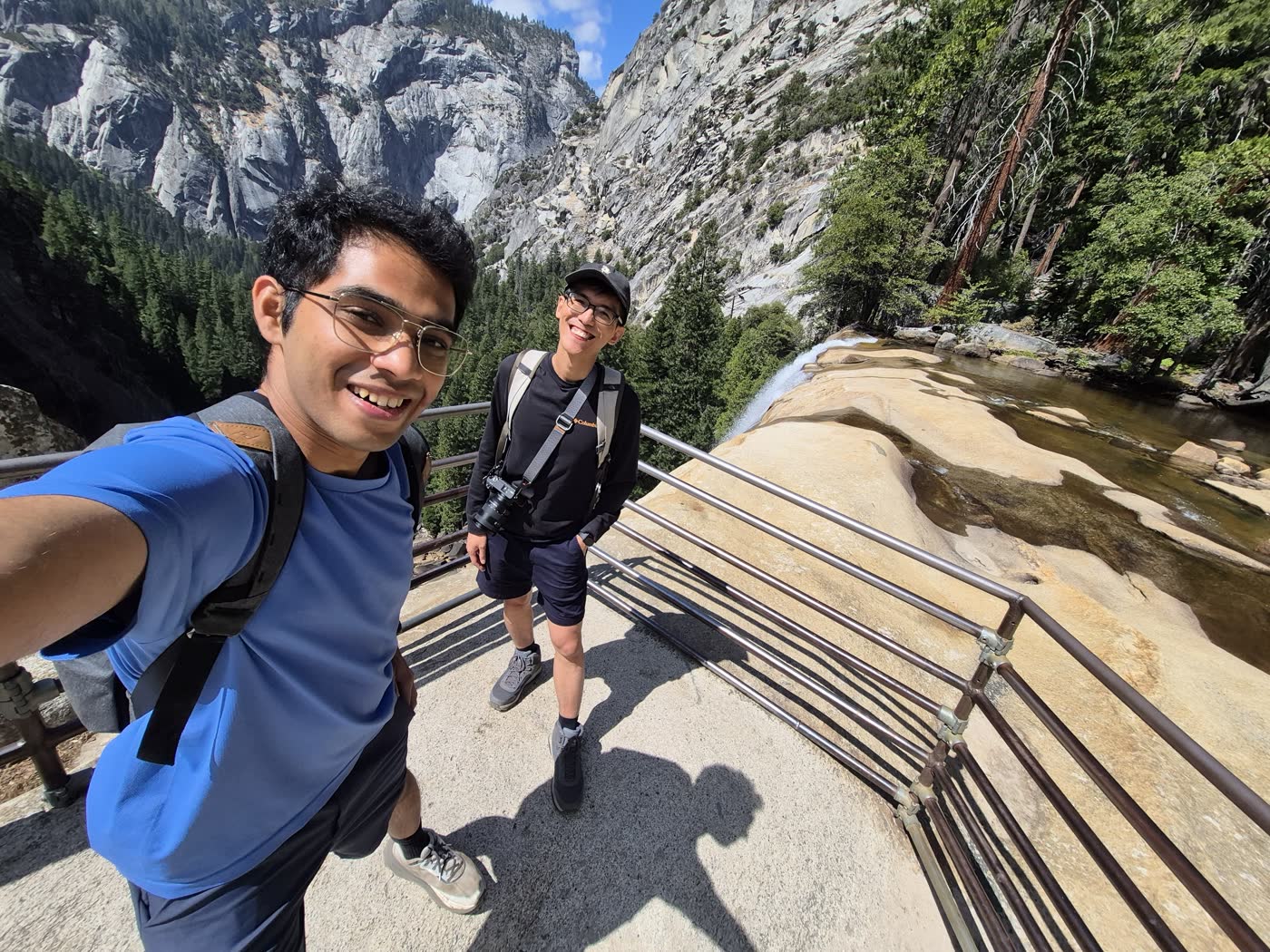
Made it.
We kept going towards Nevada Fall, and turned back at about three-quarters of the way because we’d started late. On the way, the view opened up onto Half Dome.
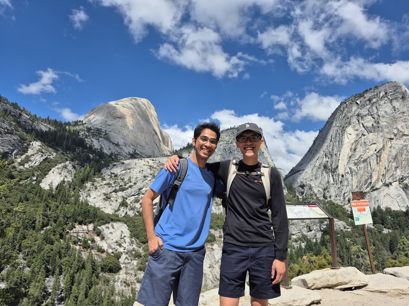
Half Dome, from the trail.
We came down by the John Muir Trail, which loops back on loose granite. It was long, and my shoe strap gave out on the way down, so the last stretch was improvised. Four and a half to five hours in all, and the best physical day of the trip.
That night we did the Night Sky walk, a naturalist-led programme where you lie on tarps in a dark field and look up. The guide was a great storyteller, with lots of star mythology, and with no light pollution the sky was completely full of stars. It got cold sitting still, and we walked back to the tents in the dark.
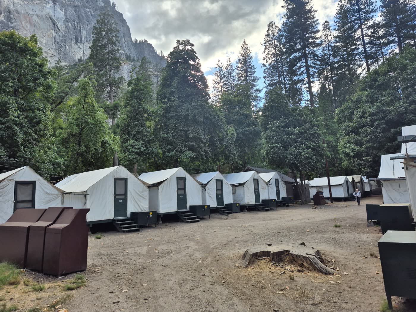
The tent cabins at Curry Village.
Day three: the Grand Tour (Sat Sep 5)
The tour bus picked us up early, with El Capitan right there in the morning light.
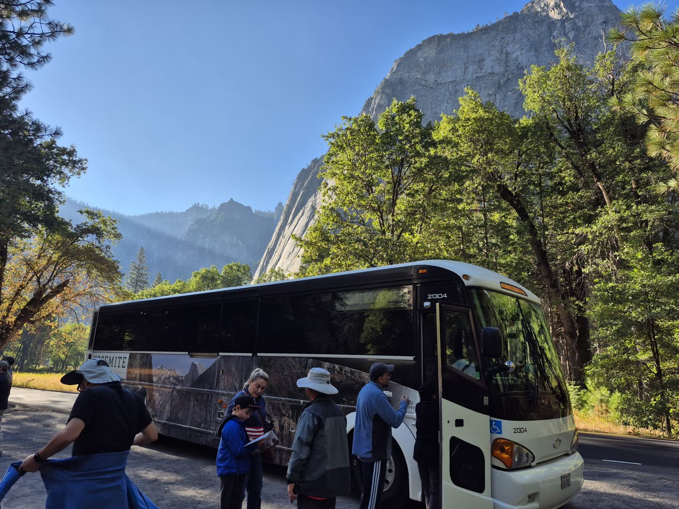
Boarding the Grand Tour bus.
The first stop was El Capitan itself, and a selfie.
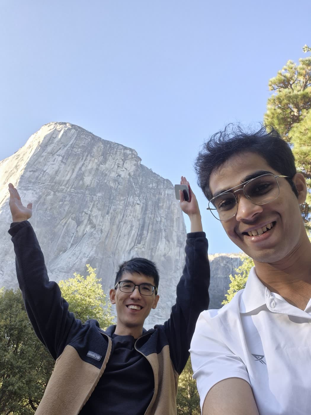
Day three, take two.
Our guide, Bill, was excellent: the kind of guide who has done the route a thousand times and is still interested in it. Most of what I learned in the park, I learned from him on that bus. The route was El Capitan, Glacier Point, the historic Wawona area, Mariposa Grove, and finally Tunnel View.
Glacier Point was one of the big highlights. You stand at the edge and the entire valley is laid out below you at once: Half Dome right across, Curry Village as a little cluster of roofs far below, the falls, El Capitan. Everything we’d walked around for two days, in a single view.
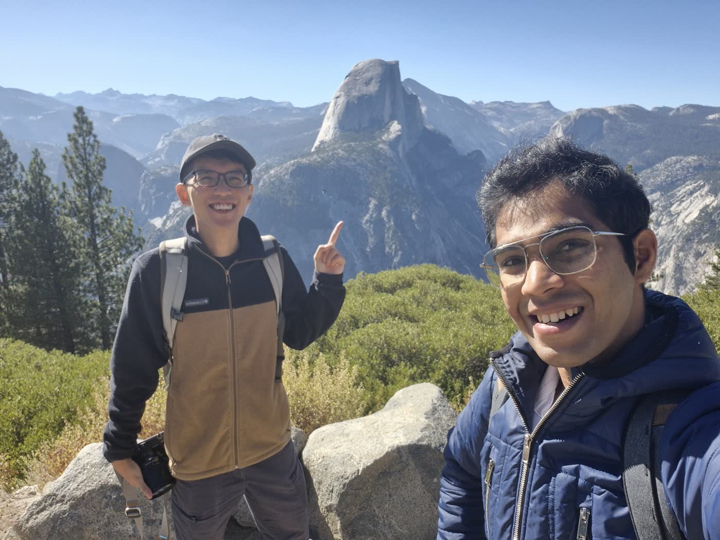
Glacier Point, with Half Dome.
From up there I could point out the whole hike from the day before: Nevada Fall, and Vernal Fall just downstream of it.
From Glacier Point: Half Dome, and the falls we hiked to the day before.
Wawona was a quiet surprise: an old white hotel with long verandas, and a collection of historic wagons and carriages. It was peaceful and almost empty compared to the valley.
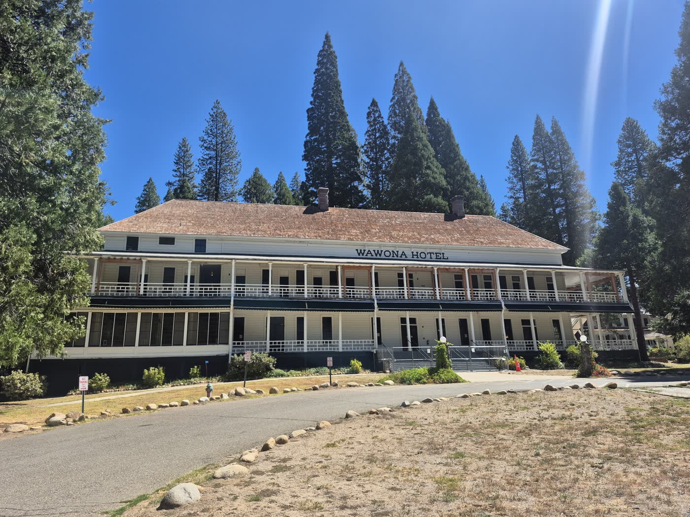
The Wawona Hotel.
Next to it is the old Yosemite Transportation Company office, a little wooden building from the stagecoach days, when this was how people came into the park.
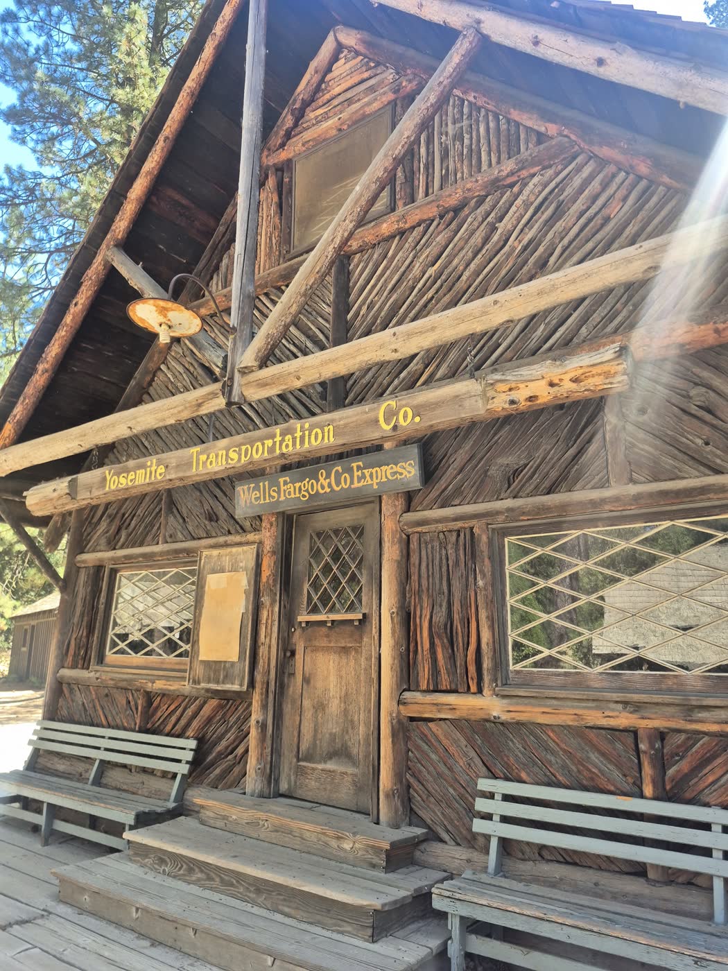
The old transportation office at Wawona.
Mariposa Grove is where the giant sequoias are, and photos really don’t prepare you. We walked through the California Tunnel Tree, and saw the Grizzly Giant, which is around three thousand years old.
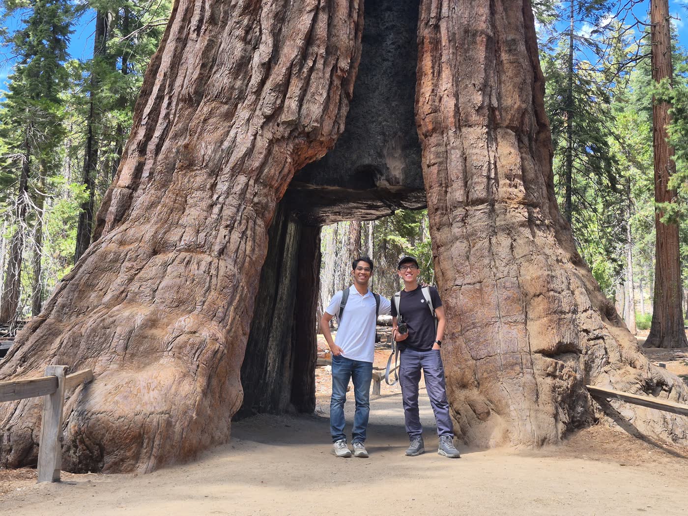
The California Tunnel Tree.
There was a fallen giant so thick that Chris and I stood side by side with our arms fully stretched out and still couldn’t span it.
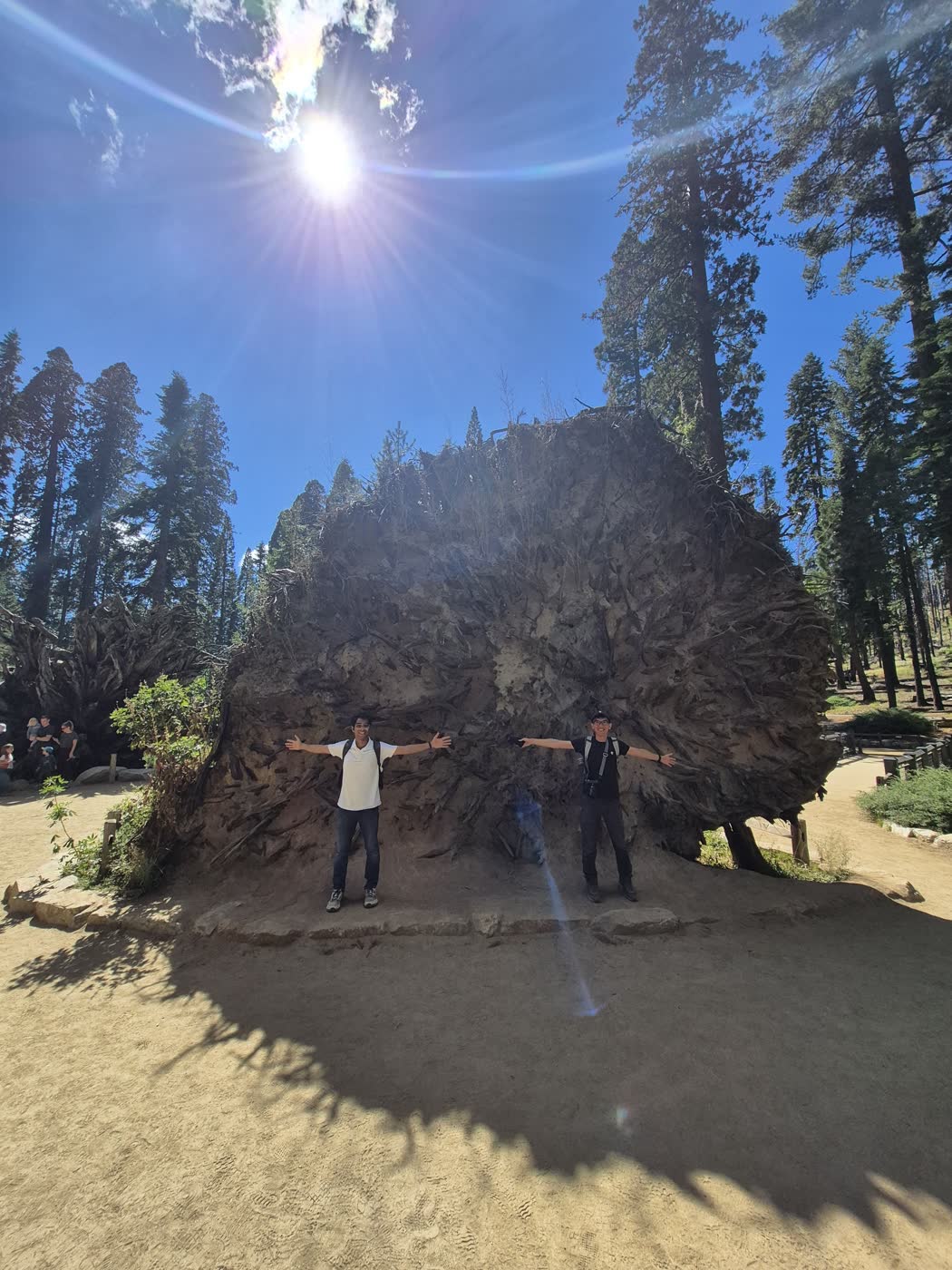
Not even close.
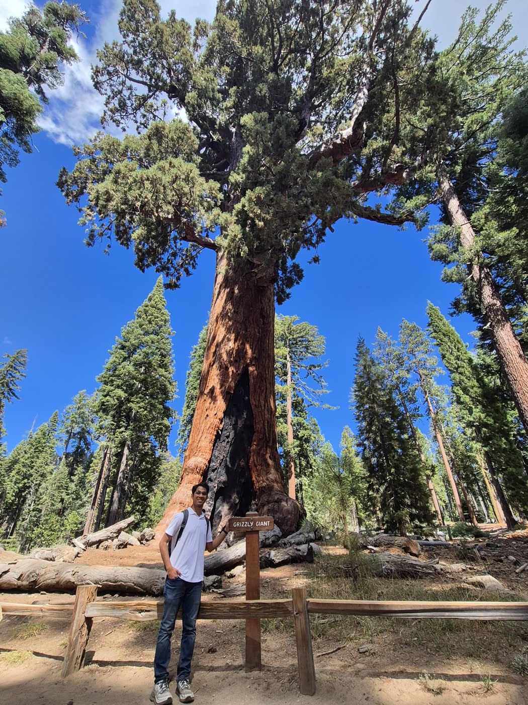
The Grizzly Giant. That’s a person at the bottom.
Bill told one story there that I keep repeating. The Grizzly Giant lost its top at some point in its very long life. So it grew a branch out sideways and turned it ninety degrees upward to make a new crown, and then, to stop the whole tree toppling under the new weight, it grew a buttress on the opposite side to balance it. A tree solving a structural engineering problem over centuries.
The last stop was Tunnel View, the classic postcard of the valley: El Capitan on the left, Bridalveil on the right, and Half Dome in the distance.
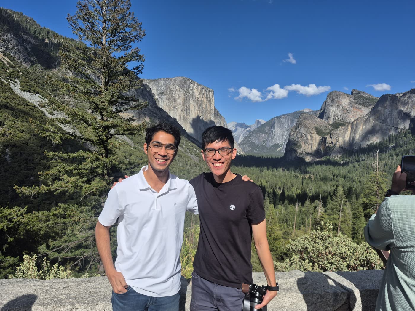
Tunnel View.
We ended the day with pizza at Curry Village, and an evening talk at the amphitheatre (more on that below).
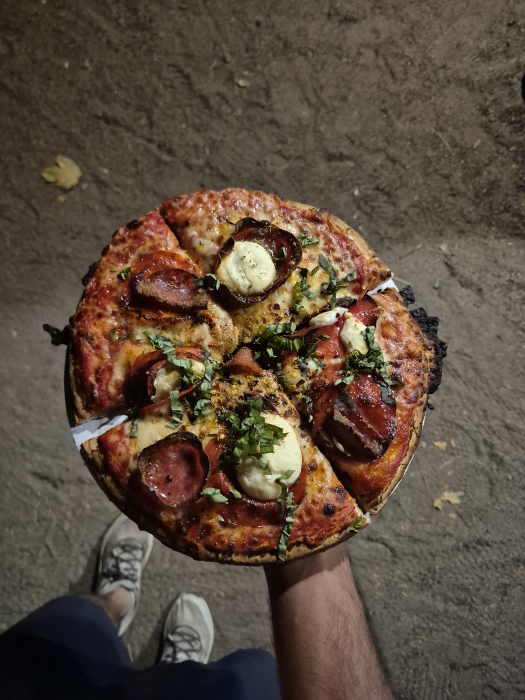
Pizza at Curry Village.
Day four: Tioga Road (Sun Sep 6)
On our last day we took the hikers’ bus up Tioga Road, which climbs out of the valley to around 8,600 feet. It’s a completely different park up there. The valley is enclosed and green; Tioga is open, pale granite and thin, bright air.
We got off at Tuolumne Meadows, got coffee, and walked the short trail out to Twin Bridges on the Lyell Fork. It turned out to be one of my two favourite places in the whole park, and I’d never even heard of it before. The river runs wide and glassy over pale rock with the peaks behind it, and there wasn’t a cloud in the sky.
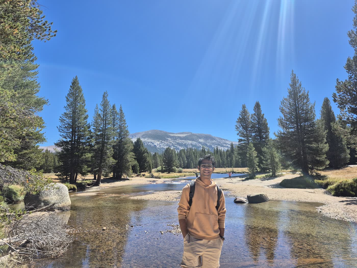
Twin Bridges, on the Lyell Fork.
Further along, the creek runs over rocks through the pines, and it was so quiet you could hear birds the whole way.
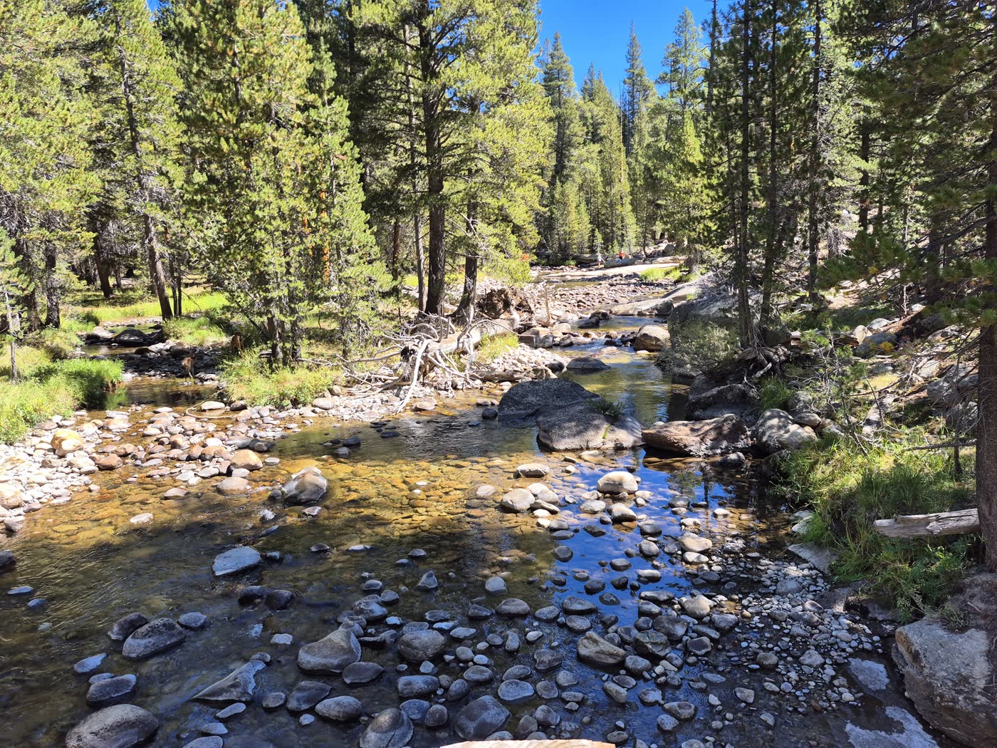
The creek near Twin Bridges.
Peaceful, calm and quiet, high up on Tioga Road.
Then Lembert Dome, and a free shuttle down to Tenaya Lake, the bluest lake I’ve ever seen, and my other favourite of the whole trip.
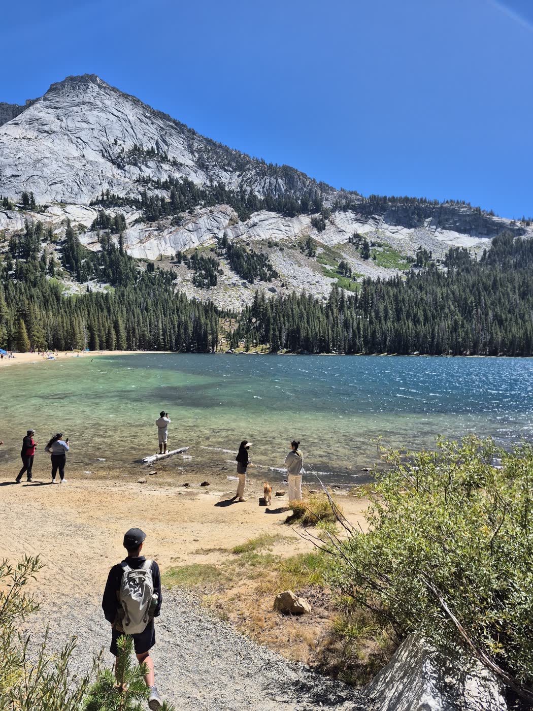
Tenaya Lake.
“The bluest lake I’ve ever seen.”
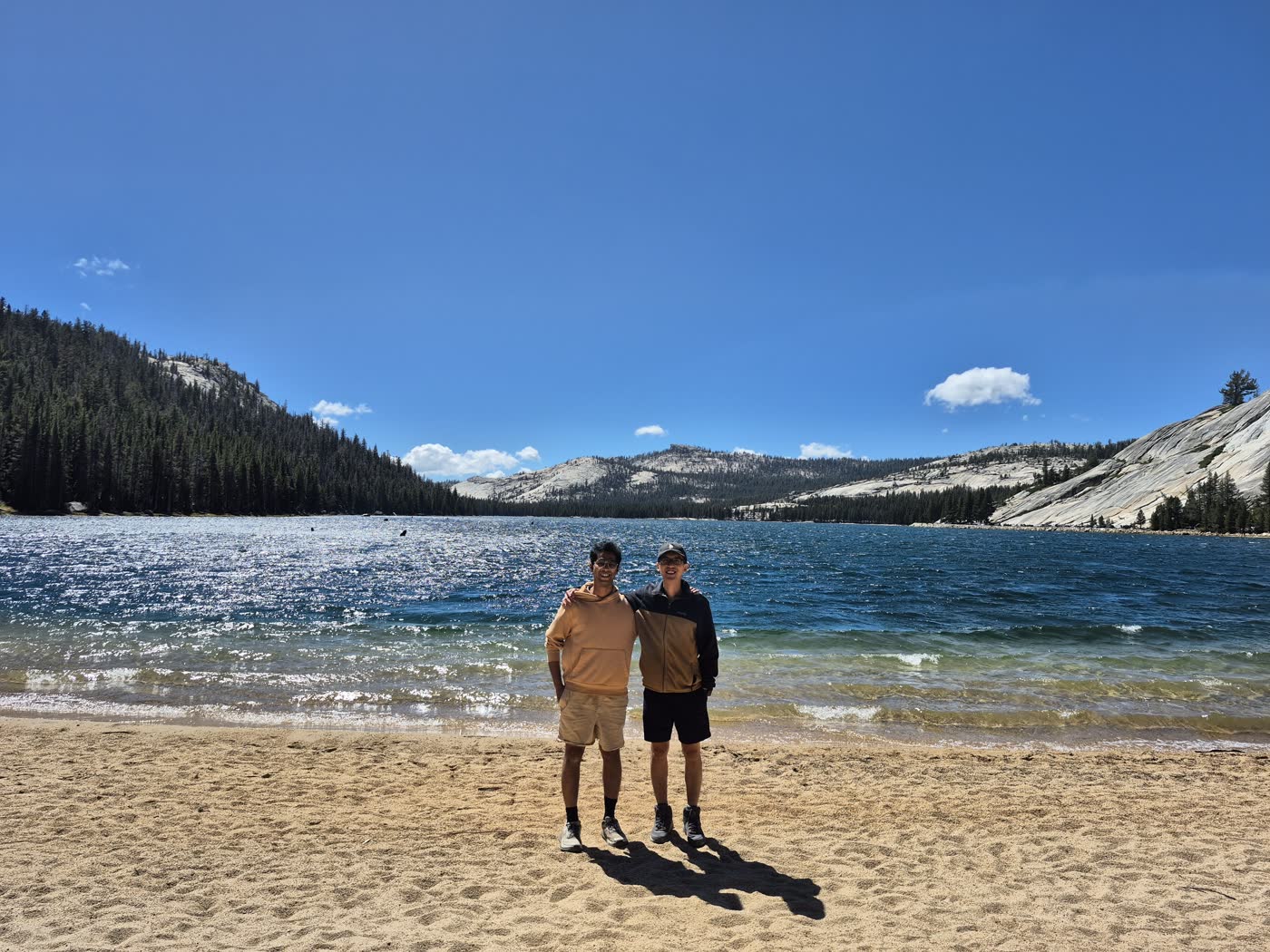
Chris and me at Tenaya Lake.
On the way back we stopped at Olmsted Point, which shows you Half Dome from behind, a completely different shape from the valley view.
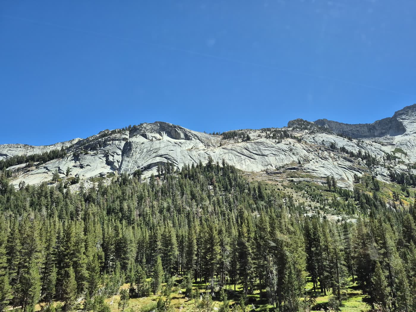
The high country along Tioga Road.
Then the 7 PM bus back down to Fresno, a last night at the airport hotel, and the flight home on Monday.
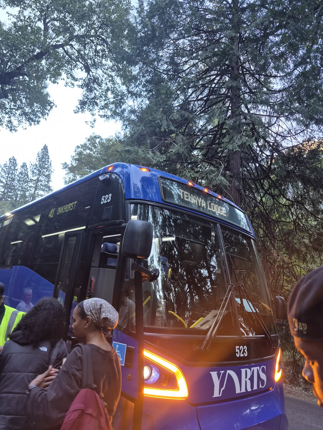
The YARTS bus home.
What I actually learned
I came back knowing more than I went in with, which is my own test of a good trip. Some of this came from Bill on the bus, some from an evening talk, and some I looked up afterwards to get the details right.
The valley was carved by ice, and that’s why there are waterfalls
On our third night a presenter called Malcolm Davis was doing an evening programme at the Camp Curry amphitheatre. It was meant to be a film; the projector failed, so he did it live instead, and it was much better for it.
The mechanism, which I’d never understood: sunlight and pressure melt a glacier at its base, so the whole frozen mass slowly slides downhill, grinding as it goes.
A river cuts a narrow V into a landscape. A glacier is wide and blunt and scours out a U — which is exactly the profile of Yosemite Valley, with those sheer vertical walls.
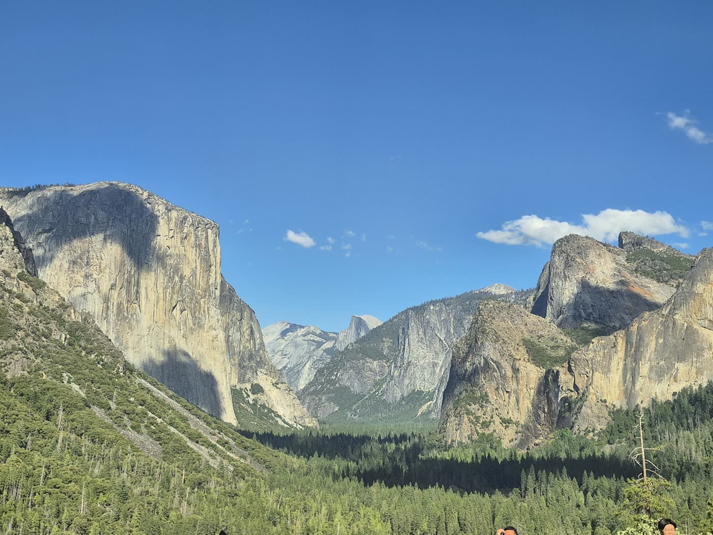
The U-shaped valley, from Tunnel View.
And here’s the part that connects: the glacier cut the main valley deeper and faster than the little side streams could keep up with. So those tributary streams were left stranded high up on the walls — “hanging” — and now they simply drop off a cliff into a floor that was carved away beneath them. That’s what a Yosemite waterfall is. Not a river running over a ledge; a stream left behind by ice.
Waterfalls come in three kinds, and the famous one is the unreliable one
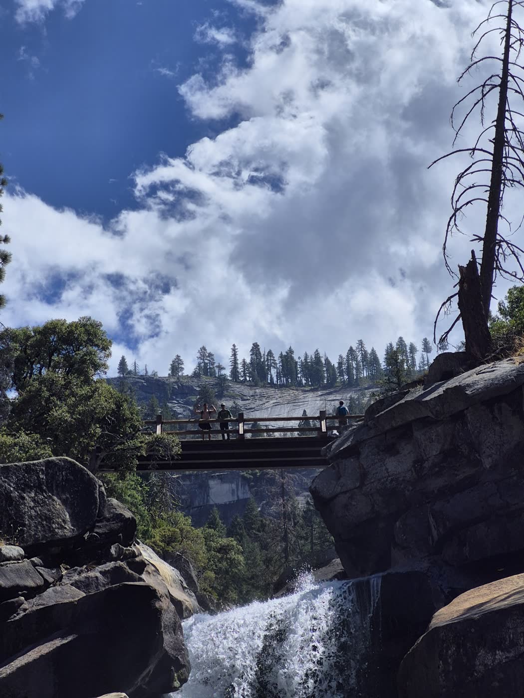
One of the falls that still had water in September.
- Perennial — runs all year. Vernal and Nevada Falls, fed by the Merced River. These are the ones that had water when we were there.
- Ephemeral — seasonal, fed by snowmelt. Yosemite Falls is this one. It peaks in May and is usually dry by late summer, which is precisely why we didn’t see it.
- Pluvial — driven by actual rainfall.
I had assumed the biggest, most famous fall must be the most reliable one. It’s the opposite.
Fire is not the enemy — and this was the best idea I brought home
We passed a lot of dead and blackened trees, and I’d assumed that was damage. It’s more complicated than that.
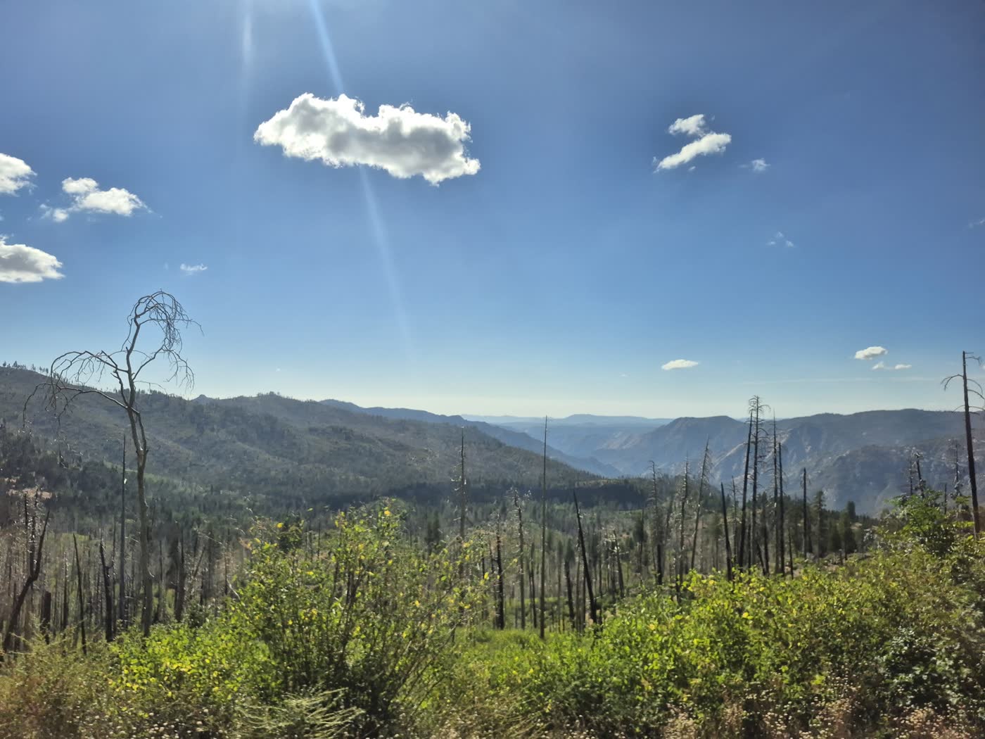
Old fire, new growth.
Giant sequoias are fire-adapted. Thick bark protects the mature trees. The heat of a fire dries their cones so they release seed, and it clears the ground to the bare mineral soil that seedlings actually need. Douglas squirrels help too, gnawing the cones open. Fire is part of how the species reproduces, not just something it survives.
The really striking version of this came from a staff member at the Ahwahnee. For roughly a century, fire was suppressed in Yosemite as a matter of policy. The result was that the forest overcrowded — pines grew in dense stands where regular low fires would previously have thinned them — and the open sightlines across the valley closed in. You used to be able to stand at one end and see the other. You can’t now.
So the park has reversed course, and now runs deliberate prescribed burns, informed by the practices of the Indigenous peoples who managed this land with fire for thousands of years before it was a park. A century of well-intentioned protection did more damage to the forest than the fires it was preventing. That’s the single idea I most want to remember from this trip.
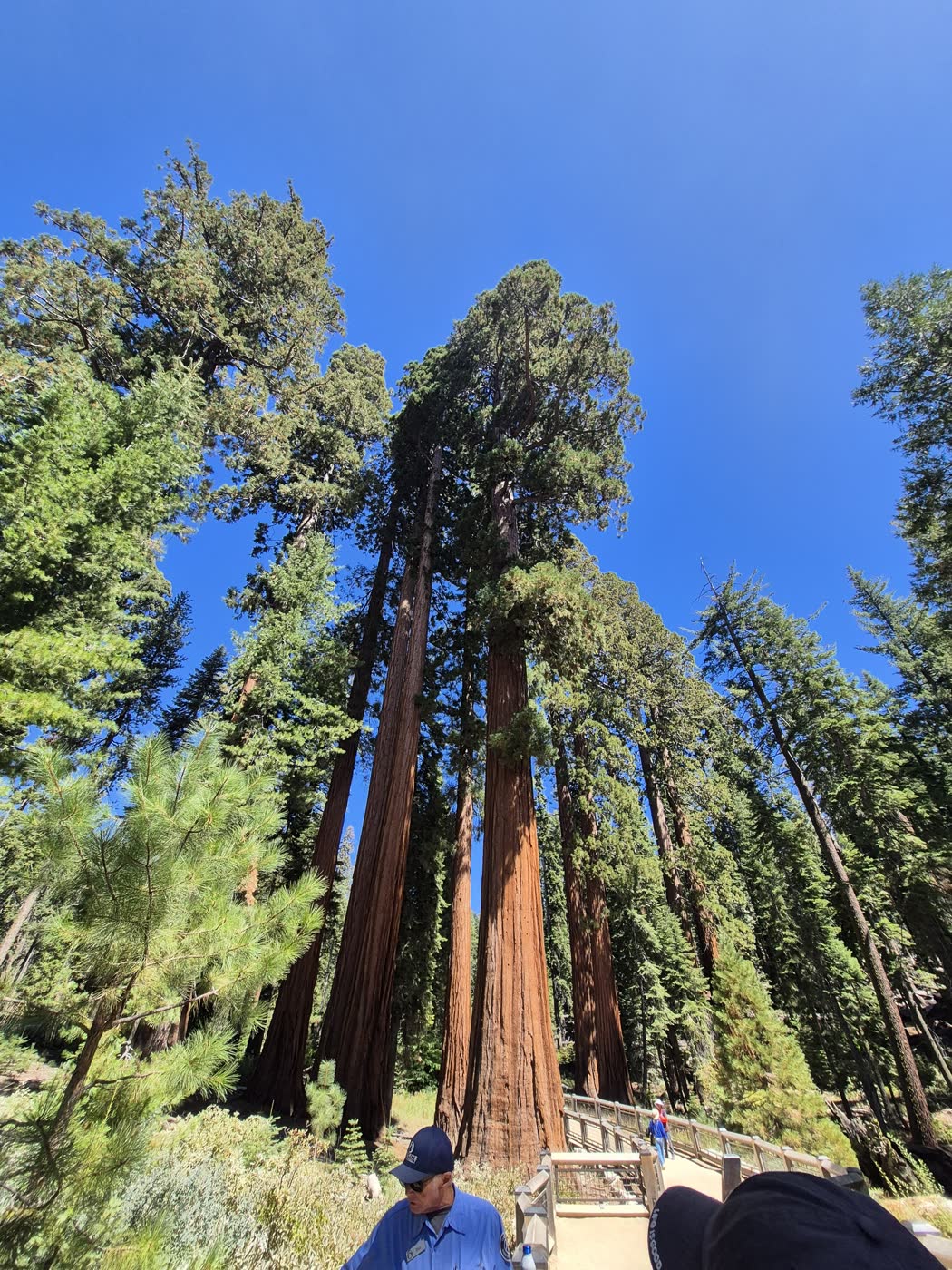
Giant sequoias in Mariposa Grove.
Two corrections to my own notes while I’m here: sequoias bear cones, not acorns (acorns are oaks — I said this out loud and Chris corrected me on the spot), and the cones themselves are about the size of a chicken egg and can hang on the tree unopened for twenty years.
Telling the conifers apart
I spent a fun hour on the trail trying to work this out with Chris. The species Bill named were ponderosa pine, lodgepole pine, incense cedar and the Douglas squirrel that lives off them. The working rules we arrived at:
- Oaks are broadleaf. Pine, fir and cedar are conifers — they carry cones.
- Pine needles grow in bundles — little clumps of two or three sharing a base. This is the most reliable thing to look for. Ponderosa has three to a bundle, lodgepole two.
- Fir needles attach singly along the twig, and the tree has the classic Christmas-tree shape, with the needles angling gently upward at the branch ends.
- Incense cedar doesn’t have needles at all really — flat, scaly sprays.
The people the park is named after
Half the names I came home with were mangled, so for the record:
- John Muir — the naturalist who founded the Sierra Club in 1892. He camped with Theodore Roosevelt in Yosemite for three nights in May 1903, and Roosevelt came away and expanded federal protection. The trail we came down on is named after him.
- Galen Clark — discovered Mariposa Grove in 1857 and became the first official Guardian of the Yosemite Grant.
- Abraham Lincoln — signed the Yosemite Grant Act on 30 June 1864, in the middle of the Civil War, setting the valley and Mariposa Grove aside for protection. This is the first time the US government ever protected land purely because it was beautiful, which makes it the direct ancestor of the whole national-park idea. Yellowstone came eight years later; Yosemite itself only became a national park in 1890.
And the two names I’d wondered about all week: El Capitan is Spanish for “the captain”, a nineteenth-century rendering of the Ahwahneechee name To-tock-ah-noo-lah. Curry Village is named for David and Jennie Curry, who set up Camp Curry on that spot in 1899 — which is why the amphitheatre and the pizza place still carry the Camp Curry name.
A small vocabulary fix
The words for animal activity patterns, which I could not retrieve at the time and which turn out to be simple: diurnal (active by day), nocturnal (active by night), and crepuscular (active at dawn and dusk) — which is the one most of the deer and coyotes here follow. Circadian is a different thing entirely: it’s the internal twenty-four-hour clock, not a category of animal.
What I made of it
While I was there, I kept saying “it was okay”, but looking back that’s just how I talk when I’m in the middle of something. The specifics tell the real story. My two favourites were Twin Bridges and Tenaya Lake, up on Tioga Road. Then Glacier Point, the Mist Trail, and that first sight of El Capitan through the tunnel. I’d go back for any of them.
Some of the simplest things were the best: a short flat trail at Twin Bridges, a clear blue lake, an evening in a meadow. In a place like this, the landscape is the whole show. And doing it all without a car turned out to be completely fine.
Notes to myself
How we got around. Flew into Fresno, stayed at an airport hotel with a free shuttle, and took the seasonal YARTS Highway 41 bus into the valley and back. The early bus in and the last bus out gave us full first and last days.
The valley shuttle. Leave lots of buffer before anything timed.
Shoes. Real hiking boots next time.
No signal in the valley. Download maps and tickets before going.
September. Warm days, clear skies and thin crowds on Tioga Road. For full waterfalls, come in late spring.
What we spent (two people, September 2026):
| Thing | Notes | Cost |
|---|---|---|
| Flights | JFK → Fresno via Salt Lake City; back via Phoenix | ~$280 out, ~$409 back, per person |
| YARTS Highway 41 | Each way, per person, plus a small booking fee | ~$20 each way |
| Curry Village tent cabin | Canvas tent cabin for two. We were barely in it | ~$236/night |
| Fresno airport hotel | Free 24-hour airport shuttle, breakfast from 6 AM | ~$120–128/night |
| Yosemite Grand Tour | Full day, 8 AM–4 PM, guided bus. Glacier Point and Mariposa Grove made it | ~$141/person |
| Night Sky naturalist walk | ~90 min, run by the Yosemite Conservancy | ~$25/person |
| Twin Bridges, Tenaya Lake, Mirror Lake, El Capitan Meadow, the Ahwahnee tour | Some of my favourite parts | free |
My favourites: Twin Bridges and Tenaya Lake on Tioga Road. Then Glacier Point for the view that explains the park, the Mist Trail for the walk, and an hour in Mariposa Grove with the sequoias.